There are some strange and peculiar roads around the world which can often make driving an… interesting experience. While many roads are bland, Michigan has some unique roads. And many of those roads have some interesting history.

According to the U.S. Department of Transportation Federal Highway Administration, the oldest constructed roads discovered to date are in former Mesopotamia, now known as Iraq. These stone-paved streets date back to about 4000 B.C. in the Mesopotamia cities of Ur and Babylon.

Here in Amercia, the State Highway Department was created in 1905. In the early 1900s, lcoal leaders, including Horatio S. “Good Roads” Earle and Frank F. Rogers, saw a pressing need to get Michigan out of the mud.

Over time, they accomplished the first mile of concrete highway built, first painted centerline, first roadside park, and the first four-way red/yellow/green electric traffic light built on a solid foundation for a sustainable transportation system in Michigan. The demand for paved roads rose with the use of wheeled vehicles.

When it comes to Michigan’s roads and highways, there are many facts. Most Michiganders would find some of these quite surprising. The Michigan Department of Transportation has compiled a list of facts about the roads and highways in Michigan. With facts about Michigan’s first road map, first four lane road, and others. But which facts do some Michiganders not know about?

Here are 8 Michigan road facts you probably didn’t know about.

  • Michigan's shortest freeway is 1.1 miles long.

    Currently, Michigan has one of the nation’s shortest signed interstates. The shortest freeway in Michigan is only 1.1 miles long. Though not signed, New York has a  0.70 miles freeway, which is even smaller than Michigan’s smallest.

    driving on highway

  • Michigan has the longest remaining camelback bridge.

    The three-span US-12 camelback bridge in Mottville is Michigan’s longest remaining bridge of this type. Constructed in 1922, these bridges are found primarily in Michigan and Ontario, Canada.

    Close-up of fragment of red cable-stayed bridge pylon in place where metal cables are fastened. Close-up shows connection of steel powerful straight crossbar, bridge connection, metal architecture.

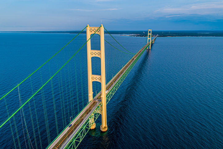
  • Michigan has a bridge with towers almost as tall as the Washington Monument.

    The towers on the Mackinac Bridge or “Mighty Mac” (552 feet high) are almost as tall as the Washington Monument (555 feet high). The Mackinac Bridge is currently the fifth longest suspension bridge in the world.

    Mackinac Bridge Golden Hour 13

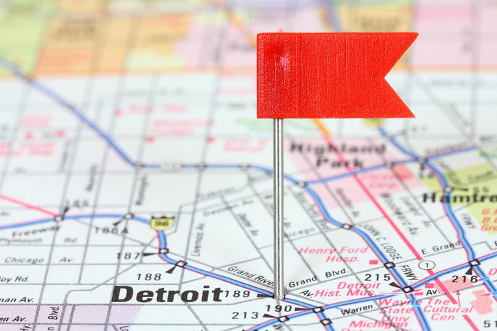
  • Michigan's first road map only had 3 roads on it.

    The first Michigan road map, with only three roads on it, was published by the United States Congress in 1826. As a matter of fact, the first surveyed road in Michigan was Pontiac Road (now called M-1 or Woodward Avenue) connecting Detroit and Pontiac in 1819.

    Detroit on map

  • Michigan has the only state highway in the nation where motor vehicles are banned.

    M-185 on Mackinac Island is the only state highway in the nation where motor vehicles are banned. Motorized vehicles have been prohibited on Mackinac Island since 1896 because the horses were disturbed by the noisy engines of some of the island’s first cars. Furthermore, carriage drivers formed an association, convincing islanders to ban automobiles.

    Mackinac Island West Bluff Victorian Cottage

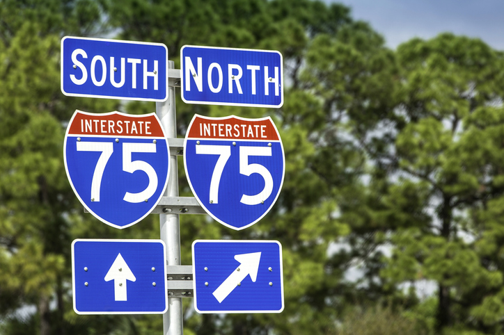
  • The longest highway in Michigan passes through six different states.

    The longest highway in Michigan is I-75, which runs 395 miles from the Ohio border to the International Bridge in Sault Ste. Marie. I-75 also passes through six different states. At its north end, it starts on the Canada/U.S. border at the top of Michigan at Sault Ste. Marie. Then it heads south to Naples in Florida, where it bends east and runs across to Miami.

    Directional signs along US Interstate I-75

  • Michigan has a total of 120,256 miles of paved roadway.

    MDOT says that there is enough pavement on Michigan roadways to build a one-lane road from the Earth to the moon. Michigan has a total of 120,256 miles of paved roadway. This includes 9,669 route miles of state trunkline, 89,444 route miles of county roads, and 21,198 route miles of city and village streets. However, according to NASA, the Moon us an average of 238,855 miles away from Earth.

    Planet Earth in universe or space in a nebula clouds

  • Several Michigan highways began as Native American trails.

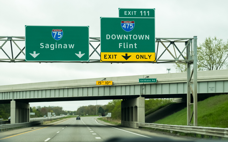
    Eight Michigan highways began as Native American trails, US-2 (from Sault Ste. Marie to Green Bay); I-75 (from Detroit to Saginaw), I-94 (from Detroit to St. Joseph; I-96 (from Detroit to Grand Rapids), I-94 (from Detroit to Port Huron), US-41 (from L’Anse to Marquette), and US-12 (from Ypsilanti to Chicago). Michigan’s three largest tribes are the Ojibwe (also called Chippewa), the Odawa (also called Ottowa) and the Potawatomi (also called the Bode’wadmi). Michigan also federally recognizes these tribes and others in the state.

    Highway exit sign for Flint (I-475) and Saginaw Michigan on I-75.

Sign Up To Have The Messenger Newsletter Delivered To Your Inbox

Get the good stuff sent straight to your inbox including what's happening with your favorite artists, events you need to know about, and a dose of inspiration.

*
By clicking "Subscribe" I agree to the website's terms of Service and Privacy Policy. I understand I can unsubscribe at any time.